Urban planning is entering a new era where real-time data from sensor networks transforms how cities function, adapt, and serve their communities.
🏙️ The Dawn of Smart Cities Through Sensor Technology
Cities worldwide are experiencing unprecedented growth, with more than half of the global population now residing in urban areas. This rapid urbanization presents complex challenges that traditional planning methods struggle to address effectively. Enter sensor networks – sophisticated systems that collect, transmit, and analyze data continuously, providing urban planners with insights previously impossible to obtain.
The integration of sensor technology into urban infrastructure represents a fundamental shift in how cities understand and respond to the needs of their inhabitants. From monitoring air quality to optimizing traffic flow, these networks create a digital nervous system that makes cities more responsive, efficient, and livable.
Understanding the Sensor Network Ecosystem
Sensor networks in urban environments consist of interconnected devices that gather information about various aspects of city life. These sophisticated systems include environmental sensors, traffic monitors, acoustic detectors, and numerous other specialized instruments that work together to create a comprehensive picture of urban dynamics.
The architecture of these networks typically involves three key components: the sensors themselves, communication infrastructure for data transmission, and analytical platforms that process information and generate actionable insights. This ecosystem functions continuously, capturing millions of data points that reveal patterns invisible to traditional observation methods.
Types of Sensors Transforming Urban Landscapes
Environmental sensors measure air quality, temperature, humidity, and pollution levels across different neighborhoods. These devices help identify problem areas and track the effectiveness of environmental policies. Traffic sensors utilize cameras, magnetic loops, and radar technology to monitor vehicle flow, parking availability, and pedestrian movements.
Infrastructure sensors embedded in bridges, buildings, and roads detect structural integrity issues before they become critical. Meanwhile, utility sensors track water consumption, energy usage, and waste management systems, enabling more efficient resource allocation and identifying potential problems in real-time.
🌐 Data Collection Strategies That Work
Successful implementation of sensor networks requires careful planning and strategic deployment. Cities must consider coverage areas, sensor density, maintenance requirements, and data accuracy when designing these systems. The goal is achieving comprehensive data collection while managing costs and technical complexity.
Modern urban sensor networks employ both fixed and mobile collection methods. Fixed sensors provide consistent monitoring of specific locations, while mobile sensors mounted on public transportation or service vehicles offer broader geographic coverage. This hybrid approach maximizes data collection efficiency while minimizing infrastructure costs.
Strategic Sensor Placement for Maximum Impact
Location selection significantly influences data quality and utility. High-traffic intersections, public squares, industrial zones, and residential areas each require different sensor types and configurations. Urban planners work with data scientists to identify optimal placement locations that balance comprehensive coverage with practical constraints.
The concept of “smart poles” exemplifies efficient sensor deployment. These multifunctional structures combine street lighting with environmental sensors, WiFi hotspots, and surveillance cameras, creating information gathering hubs that serve multiple purposes while minimizing visual clutter and installation costs.
Transforming Transportation and Mobility
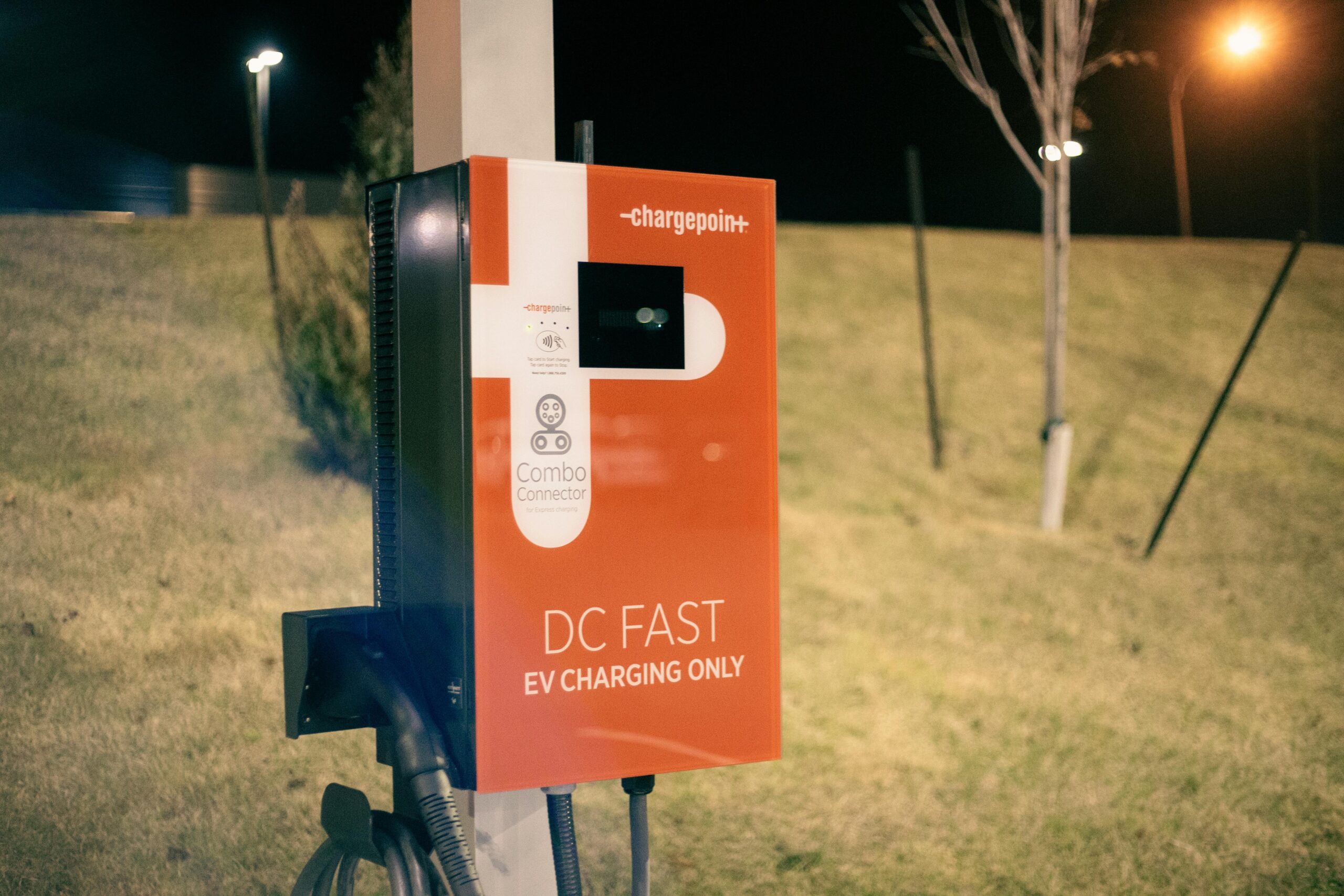
Perhaps nowhere is the impact of sensor networks more visible than in urban transportation. These systems revolutionize how cities manage traffic flow, public transit, and alternative transportation options. Real-time data enables dynamic traffic signal timing, adaptive route guidance, and predictive maintenance of transportation infrastructure.
Parking management has evolved dramatically through sensor technology. Underground sensors detect vehicle presence in individual spaces, while overhead cameras provide parking lot occupancy data. This information feeds mobile applications that guide drivers directly to available spaces, reducing congestion and emissions from vehicles circling in search of parking.
Public Transit Optimization Through Data
Sensor networks provide unprecedented visibility into public transportation usage patterns. Vehicle location tracking, passenger counting systems, and arrival prediction algorithms work together to improve service reliability and efficiency. Transit authorities use this data to adjust schedules, allocate vehicles, and plan route expansions based on actual demand rather than estimates.
The integration of sensor data with passenger information systems creates seamless experiences for commuters. Real-time arrival predictions, crowding information, and service disruption alerts help people make informed travel decisions and reduce wait times.
💡 Environmental Monitoring and Sustainability
Climate change and environmental degradation make comprehensive environmental monitoring essential for modern cities. Sensor networks provide the detailed, localized data necessary to understand and address these challenges effectively. This information guides policy decisions, tracks progress toward sustainability goals, and enables rapid response to environmental hazards.
Air quality sensors distributed throughout urban areas create detailed pollution maps that reveal problem zones and help identify sources of contamination. This granular data proves invaluable for developing targeted interventions and evaluating their effectiveness over time.
Water Management in the Smart City Era
Water sensor networks monitor consumption patterns, detect leaks, and assess water quality throughout distribution systems. These capabilities significantly reduce water waste, prevent contamination events, and optimize treatment processes. Cities using comprehensive water monitoring systems report substantial reductions in non-revenue water loss.
Flood prevention benefits enormously from sensor integration. Rain gauges, river level monitors, and soil moisture sensors feed predictive models that forecast flooding events hours before they occur, enabling proactive emergency response and potentially saving lives.
Building Safer Communities Through Data
Public safety represents another critical application area for urban sensor networks. These systems enhance emergency response capabilities, deter crime, and help cities prepare for natural disasters. The key lies in balancing security benefits with privacy concerns – a challenge requiring careful consideration and transparent governance.
Acoustic sensors that detect gunshots enable rapid police response by providing precise location information within seconds of an incident. Similarly, video analytics can identify unusual crowd patterns or unattended packages in public spaces, alerting authorities to potential security threats.
Emergency Response Coordination
When disasters strike, sensor networks provide critical information for emergency responders. Building sensors indicate structural damage, environmental monitors track hazardous material releases, and traffic sensors help route emergency vehicles around congested areas. This comprehensive situational awareness improves response effectiveness and potentially saves lives.
Integration with emergency communication systems enables targeted alerts to affected populations. People receive specific instructions based on their actual location and the nature of the emergency, rather than generic citywide warnings that may not apply to their situation.
🔧 Technical Challenges and Solutions
Implementing citywide sensor networks presents significant technical challenges. Data integration from diverse sensor types, ensuring network reliability, managing power requirements, and maintaining data security all demand sophisticated solutions. Cities must address these challenges to realize the full potential of sensor-based urban planning.
Interoperability remains a persistent challenge as different sensor manufacturers use proprietary protocols and data formats. Open standards and middleware platforms help bridge these gaps, enabling seamless data flow between disparate systems. Cities increasingly specify open standard compliance in procurement requirements to avoid vendor lock-in.
Powering the Connected City
Energy requirements for extensive sensor networks can be substantial. Solar panels, energy harvesting technologies, and low-power sensor designs help reduce power demands. Some sensors harvest energy from vibrations, temperature differentials, or radio waves, enabling deployment in locations where grid power is unavailable or prohibitively expensive.
Battery technology improvements extend the operational life of wireless sensors, reducing maintenance requirements. Cities must balance the initial cost of more sophisticated power solutions against long-term maintenance savings when selecting sensor systems.
Privacy and Data Governance Considerations
The collection of detailed urban data raises important privacy questions that cities must address transparently. Clear policies governing data collection, storage, access, and use help build public trust while enabling beneficial applications of sensor technology. The challenge lies in maximizing public benefit while protecting individual privacy rights.
Data anonymization techniques strip personally identifiable information from collected data while preserving its analytical value. Differential privacy, data aggregation, and time-delayed reporting provide additional protection layers that maintain individual privacy while enabling population-level insights.
Building Public Trust Through Transparency
Successful sensor network implementations involve communities in planning processes and maintain transparency about what data is collected and how it’s used. Public dashboards that display sensor data in real-time demonstrate openness and help citizens understand the benefits these systems provide.
Regular privacy audits, independent oversight, and clear data retention policies reassure the public that their information is protected. Cities that prioritize these governance mechanisms experience greater public acceptance and support for sensor network expansion.
📊 From Data to Decisions: Analytics and Action
Collecting data represents only the first step – transforming information into actionable insights requires sophisticated analytical capabilities. Machine learning algorithms identify patterns, predict trends, and generate recommendations that guide urban planning decisions. The value of sensor networks ultimately depends on how effectively cities use the data they collect.
Predictive analytics enable proactive rather than reactive city management. By identifying patterns that precede problems, cities can intervene before issues escalate. This approach proves particularly valuable for infrastructure maintenance, where early detection of deterioration prevents costly failures.
Real-Time Decision Support Systems
Modern urban operations centers aggregate sensor data from across the city into unified dashboards that provide comprehensive situational awareness. These facilities enable coordinated responses to events affecting multiple city systems, from severe weather to major public events requiring traffic management and public safety coordination.
Artificial intelligence systems process incoming sensor data continuously, alerting operators to anomalies that require human attention. This combination of automated monitoring and human judgment optimizes resource allocation and ensures appropriate responses to emerging situations.
Economic Benefits and ROI Analysis
While sensor network implementation requires significant investment, the economic benefits often justify the costs. Energy savings, reduced maintenance expenses, improved traffic flow, and enhanced economic activity in well-managed urban areas generate substantial returns. Cities must conduct thorough cost-benefit analyses to prioritize investments and measure outcomes.
Operational efficiency improvements alone often justify sensor network investments. Optimized traffic signals reduce fuel consumption and emissions while improving travel times. Smart lighting systems that dim when areas are unoccupied save energy without compromising safety. Water leak detection prevents revenue loss and infrastructure damage.
🌍 Global Success Stories and Lessons Learned
Cities worldwide demonstrate the transformative potential of sensor networks through successful implementations. Singapore’s comprehensive sensor infrastructure monitors everything from traffic to waste management, creating one of the world’s most efficient urban environments. Barcelona’s smart city initiatives reduced water consumption significantly while improving service reliability.
Copenhagen uses bicycle traffic sensors to optimize cycling infrastructure and prioritize bike-friendly traffic signals, supporting the city’s goal of carbon neutrality. Amsterdam employs sensor networks to monitor air quality and guide environmental policy, achieving measurable improvements in urban air quality.
Adapting Solutions to Local Context
Successful implementations recognize that solutions must fit local needs, resources, and priorities. What works in a wealthy, technologically advanced city may not suit a developing urban area with limited resources. Scalable, modular approaches allow cities to start small and expand as budgets permit and capabilities develop.
Partnerships between municipalities, technology companies, research institutions, and community organizations facilitate knowledge transfer and resource sharing. These collaborations help cities avoid common pitfalls and accelerate implementation timelines.
The Future of Sensor-Enabled Urban Planning
Sensor technology continues evolving rapidly, with improvements in miniaturization, power efficiency, and analytical capabilities expanding possible applications. Emerging technologies like 5G networks, edge computing, and advanced AI promise to enhance sensor network capabilities further, enabling even more sophisticated urban management approaches.
Digital twin technology – virtual replicas of physical cities fed by real-time sensor data – enables planners to test proposed changes before implementation. These simulations reveal potential problems and optimize designs, reducing costly mistakes and improving outcomes.

🚀 Making the Transformation Happen
Cities embarking on sensor network implementation should start with clear objectives and realistic expectations. Pilot projects in specific districts or focusing on particular challenges allow testing approaches before citywide deployment. These limited-scope initiatives provide valuable learning opportunities and demonstrate benefits that build support for broader implementation.
Building internal capacity represents a critical success factor. Cities need staff with technical expertise to manage sensor networks, analyze data, and translate insights into action. Training programs, academic partnerships, and strategic hiring help develop these capabilities.
The revolution in urban planning through sensor networks is well underway, transforming how cities function and serve their residents. As technology advances and implementation experience grows, sensor-enabled urban management will become increasingly sophisticated and effective. Cities that embrace these tools position themselves to address contemporary challenges while creating more livable, sustainable, and prosperous urban environments for future generations.
The path forward requires vision, investment, and commitment to using technology in ways that serve all residents equitably. When implemented thoughtfully with appropriate governance and community engagement, sensor networks provide the foundation for truly smart cities that enhance quality of life while operating more efficiently and sustainably than ever before possible.